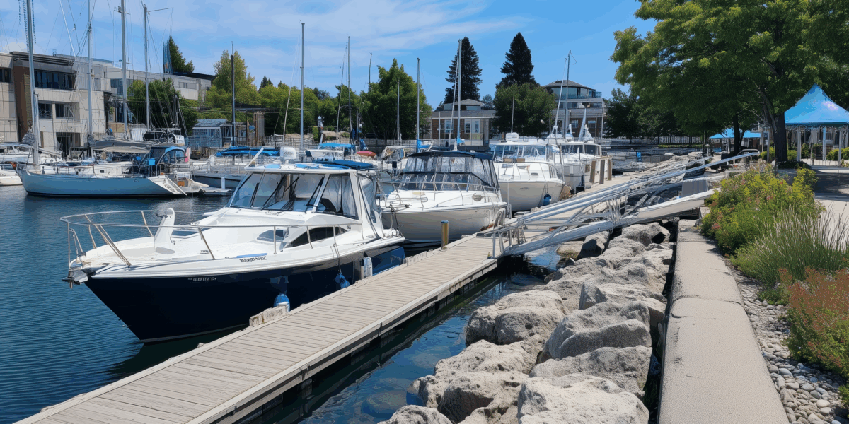
Aotearoa-New Zealand’s coasts underpin unique biodiversity, customary and commercial fisheries, aquaculture, and regional economies. They are also exposed to high biosecurity risks, i.e. introduction of non-indigenous species (NIS), from global shipping, recreational boating, and marine infrastructure. Once a marine NIS becomes established, eradication is rarely feasible – so faster detection and coordinated, evidence-based surveillance are critical.
A robust monitoring and surveillance system is key to effective regional biosecurity management as it helps to minimise NIS incursions and their impacts. The robustness of biosecurity monitoring efforts – i.e., their ability to effectively detect new incursions and changes in existing NIS distributions – is strongly influenced by the methods deployed, the locations where sampling is undertaken, and sampling effort.
Developing options for marine biosecurity monitoring
In partnership with Waikato Regional Council (WRC) and Land Water People (LWP), we evaluated how marine biosecurity is monitored across the Waikato Coastal Marine Area (CMA) and designed a practical framework to detect new non-indigenous species (NIS) earlier and track spread more efficiently.
What we did in a nutshell:
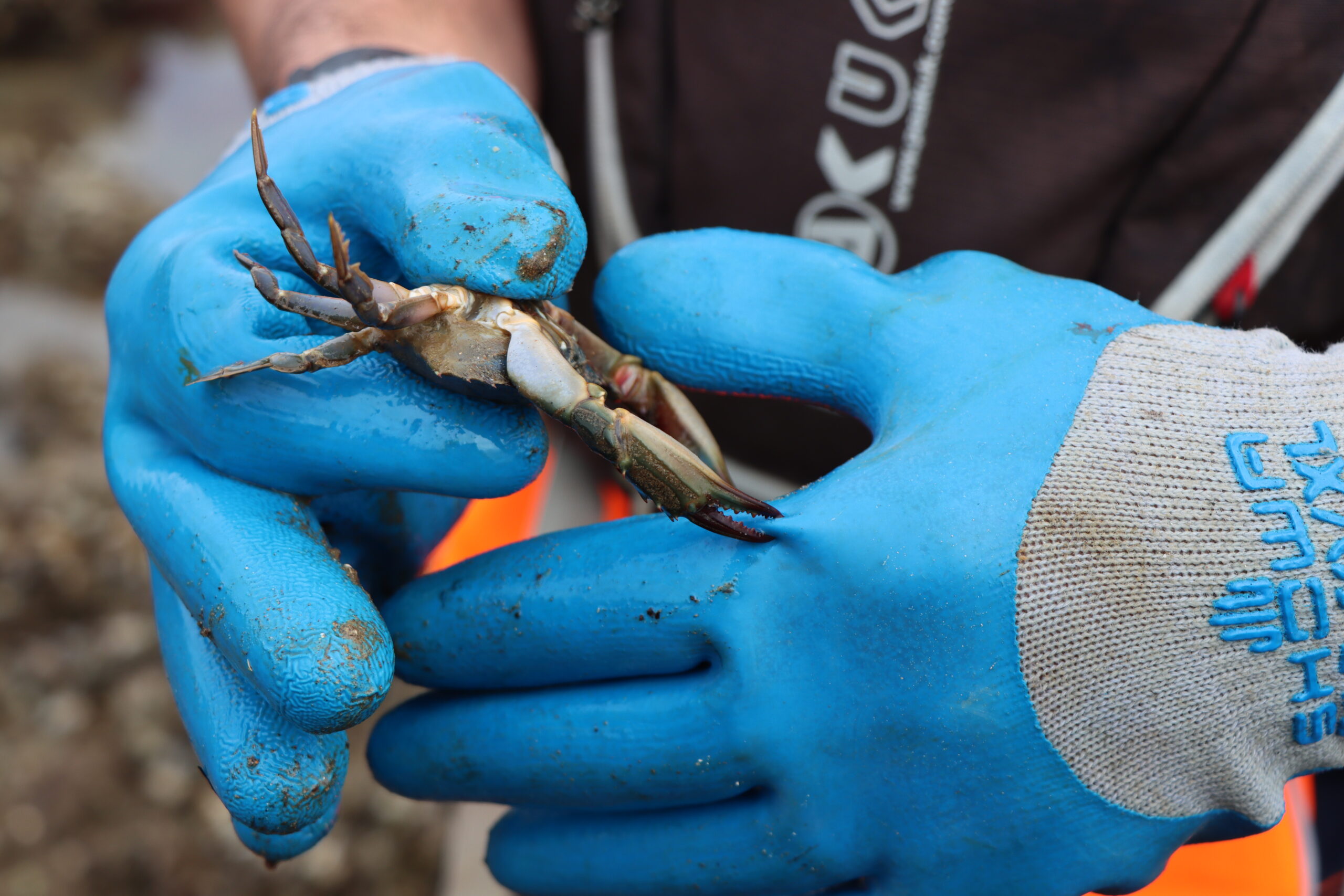
- Reviewed all marine monitoring and environmental data collection in the CMA (WRC programmes plus incidental and third-party activities such as aquaculture and boating facilities).
- Built a regional picture of sampling effort and pathway risks (e.g., vessel movement, aquaculture sites) and tested realistic enhancements to the current programme.
- Tested different monitoring scenarios, from status quo to ‘enhanced’ detection strategies using eDNA and additional sampling via incidental or third-party activities.
- Developed a fit-for-purpose implementation framework simple plan that enables integrated analysis of marine biosecurity risk and monitoring performance, standardises data collection and analysis across diverse activities, and supports a mobile-first approach using Survey123 for ArcGIS.
Why it matters
This integrated approach uses what already exists – adding focused observations, light-lift sampling, and modern analytical tools (including eDNA where appropriate) – to improve early detection while keeping costs sensible. It strengthens coordination across teams, supports evidence-based decisions, and provides a scalable model other regions can adopt.
Join Us in Advancing Research
Do you have an innovative idea or a research question? We’re always eager to collaborate with passionate individuals and organizations. Contact us today to explore how we can work together to bring your vision to life and make a lasting impact on our planet.